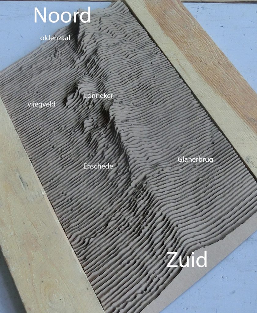
Trying out how a sliced landscape looks with different materials. Used 3mm single fluted cardboard. This should be cut perpendicular to wave direction in cardboard to avoid strange artifacts. It feels like a puzzle, maybe it could be used as such in a class geography. Next will be visualisation of the subsoil, which has a lot of variety (clay, sand loam) in this area (glacial artefacts)
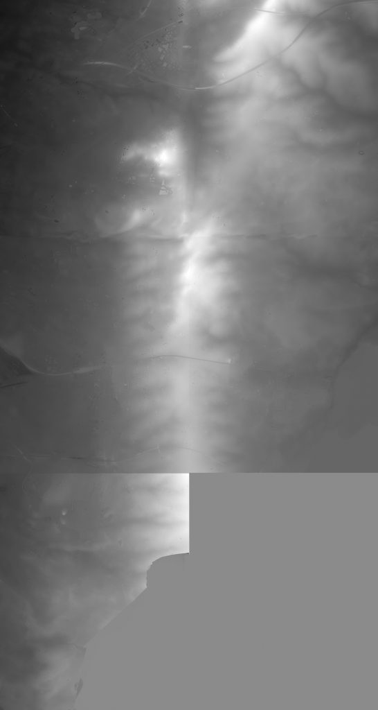
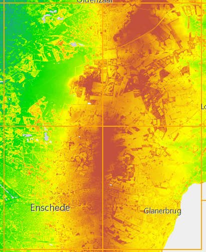
Source files: AHN (algemene hoogtekaart nederland, digital information of the Dutch topography). Downloaded the information (geotiff) from AHN site, converted with QGIS to 16 bit bitmap (black and white scale), combined them in photoshop and converted this to a smaller bitmap (GIF, about 1000 x 2000 pixel) to make a 3D shape (bitmap to heightfield in Rhino, other programs may also be suitable.
Bryce, an old and now obsolete landscape and fractal forming program had a nice bitmap to landscape converter. It could also do interesting things with it, such as erode the landscape. Too bad that it was bought by Corel and later on incorporated in Vue, where it lost most of it’s interesting aspects behind many layers of menu’s. However, the original Bryce interface was really horribly inefficient. Who does a good make over with just the Bryce functionality? I still use it , running under W7. It never installed well under W10. But more for nostalgic reasons.